Most Excellent Adventures

Dick & Mary's Travel Blog
  • Asia
    • Thailand
      • Bangkok
    • Route Map – 2025
  • Africa
    • South Africa
      • Cape Town
      • Cederberg
      • Wine
        • Stellenbosch
        • Franschhoek
      • Hermanus
      • Timbavati Preserve
    • Zimbabwe
      • Mana Pools NP
      • Hwange NP
      • Victora Falls
    • Route Map – 2024
    • Species Checklist
  • Polar
    • Antarctica ’22
  • Europe
    • Scotland, ’22
    • Burgundy & Provence, ’18
      • Burgundy
      • Rhone
      • Provence
    • England & Belgium, ’16 – Father/Son
    • Spain & France, ’15
    • UK & Ireland, ’14
    • Belg & France, ’12
  • S. America
    • Galapagos & SA, ’19
      • The Whole Trip
      • Route Map
      • Northern Peru
      • Lima
      • Galapagos
      • Sacred Valley
      • Chile
      • Ruta de Vino, Chile
      • Archaeology
    • Antarctica & SA, ’22
      • Argentina
      • Ushuaia
      • Brazil
  • Oceana
    • Australia & NZ, ’17
      • The Whole Trip
      • Australia
      • Tasmania
      • New Zealand
    • Route Map
    • Distances
  • Alaska
    • Southeast, ’02
    • Katmai, ’04
    • ANWR, ’06
  • Golf
  • Prev
  • Next

Kuelap

October 10, 2019November 20, 2019 By 2 Smiths

We’ve been in a remote part of Northern Peru for a few days with extremely limited internet access, hence the late postings.  After spending a day hanging around the lodge so as not to be far from a toilet, we seemed to have gotten past the worst of the Norovirus and are heading out this morning to visit Kuelap.  Kuelap is a very significant site to the Chachas dating from 500 AD until 1570 AD.  Along the route to Kuelap, we viewed several burial sites in the cliffs with the signature sarcophagi and a least two rock paintings. 

The original route to Kuelap from Cocachimba was over a three hour drive, but several years ago, the government of Peru installed a tram system that will take you up the mountain to the original parking lot in about 20 minutes once you get to the tram area (still almost an hour from Cocachimba). 

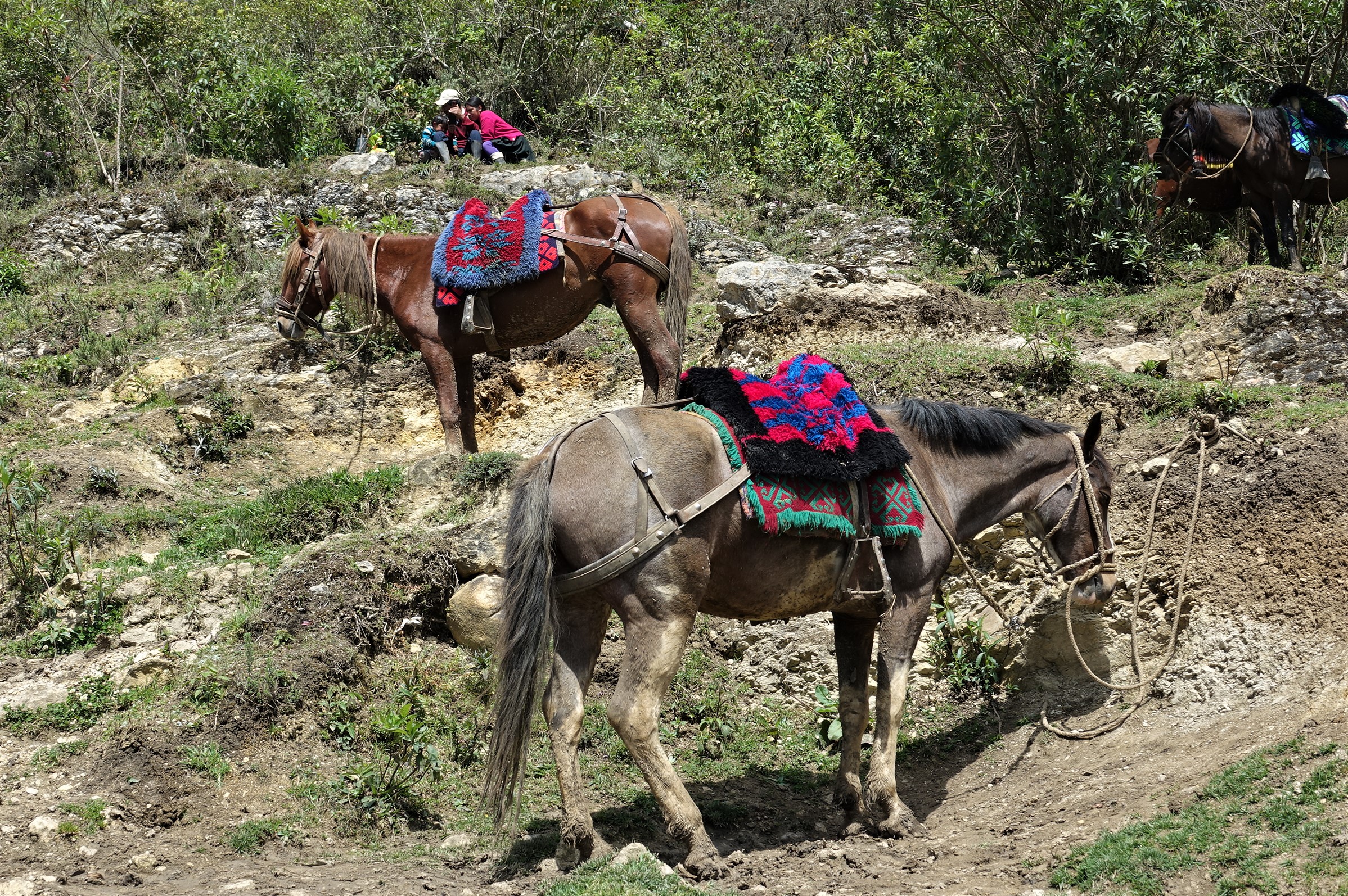
Unfortunately, you still must hike up the mountain to get to the actual ruins – an elevation of 9,800 + feet.  Definitely a bit of a challenge after being down and out the day before.  There was an option to take a horse up the mountain, but it’s been a long time since I’ve been on one.

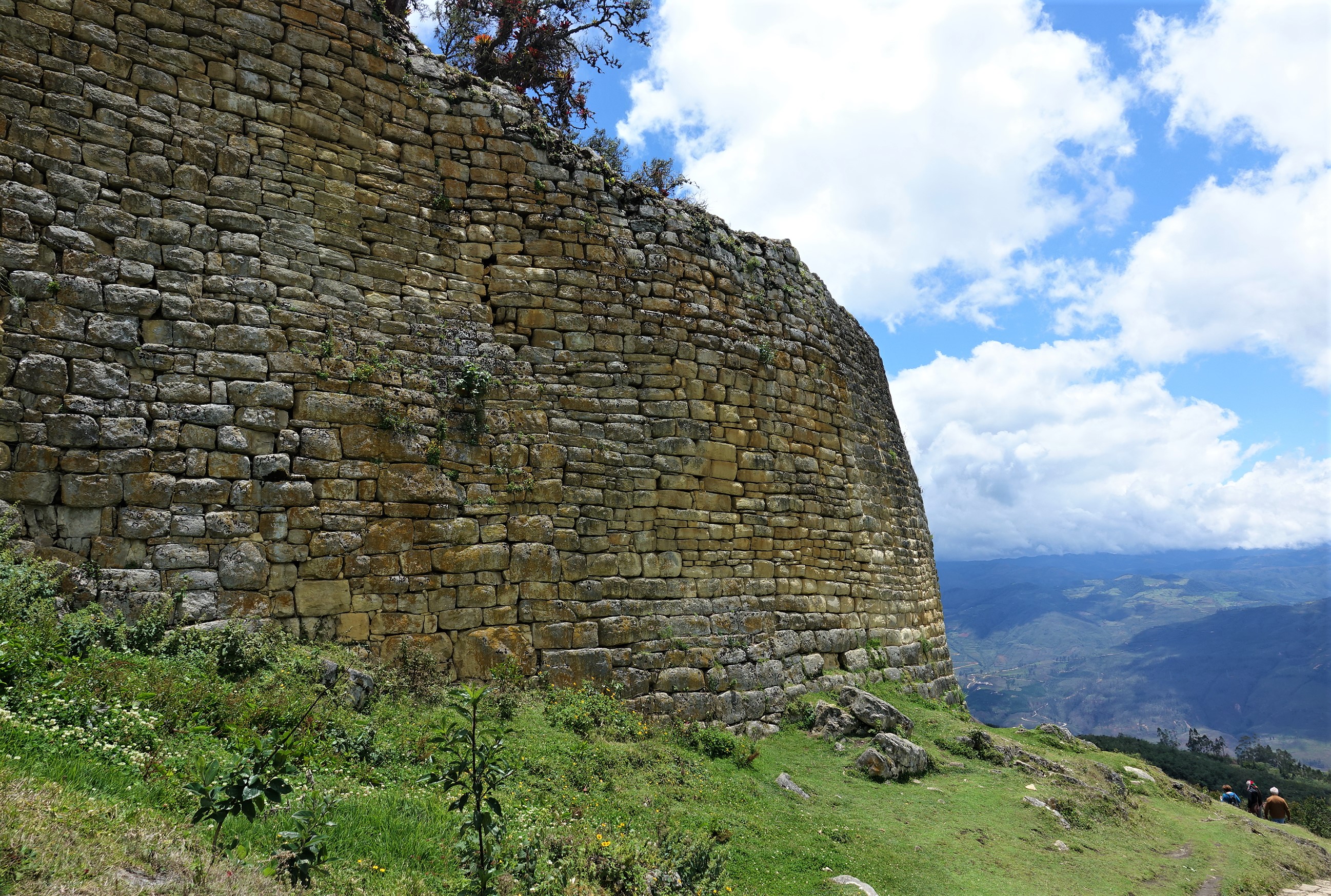
The site is quite large and is spread over 540 acres.  It continues to be excavated and is trying to gain UNESCO status. 

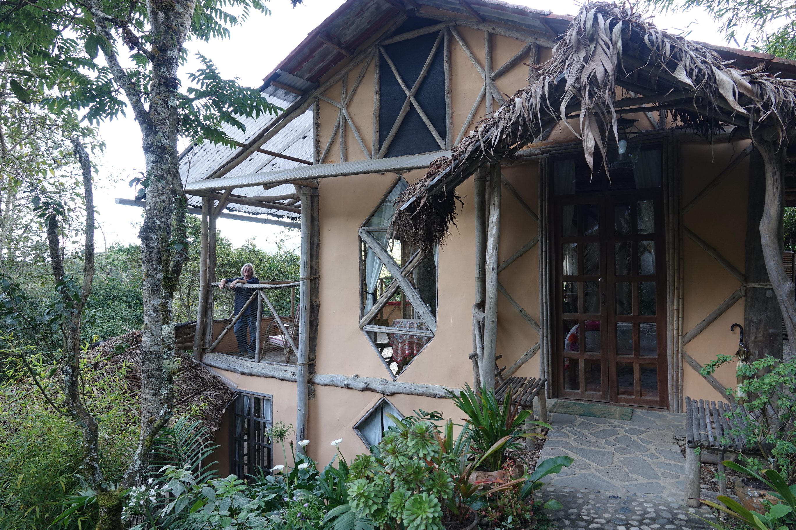
After spending about 4 hours hiking around the site, we return to the small village of Tinto for some lunch.  We head on to Leymebamba and the ‘Hummingbird Inn’ for the evening. 

M.

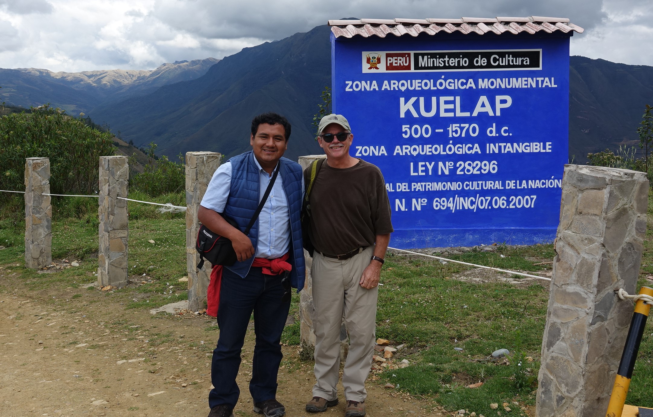
After more than a few rolls of TP and a day hanging around the lodge our heads (and bowels) cleared up and we headed out for the prize of Northern Peru archaeology – Kuelap, the Imperial City of the Chachas, the ‘Warriors of the Clouds’. 

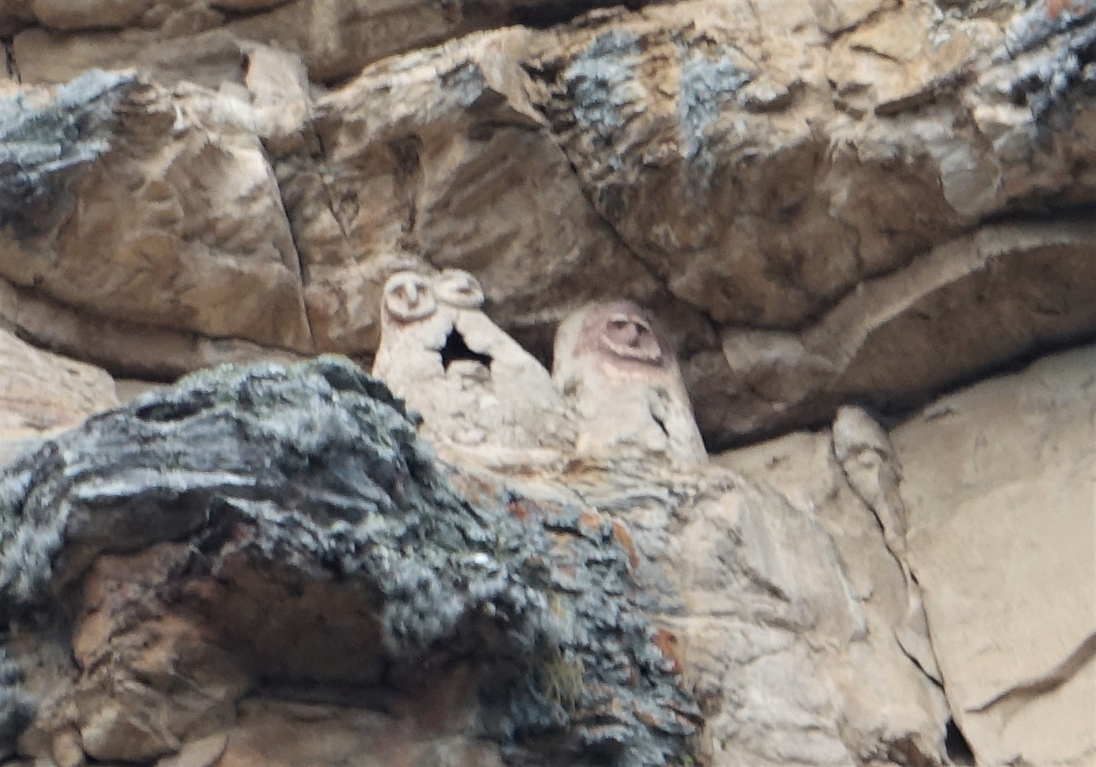
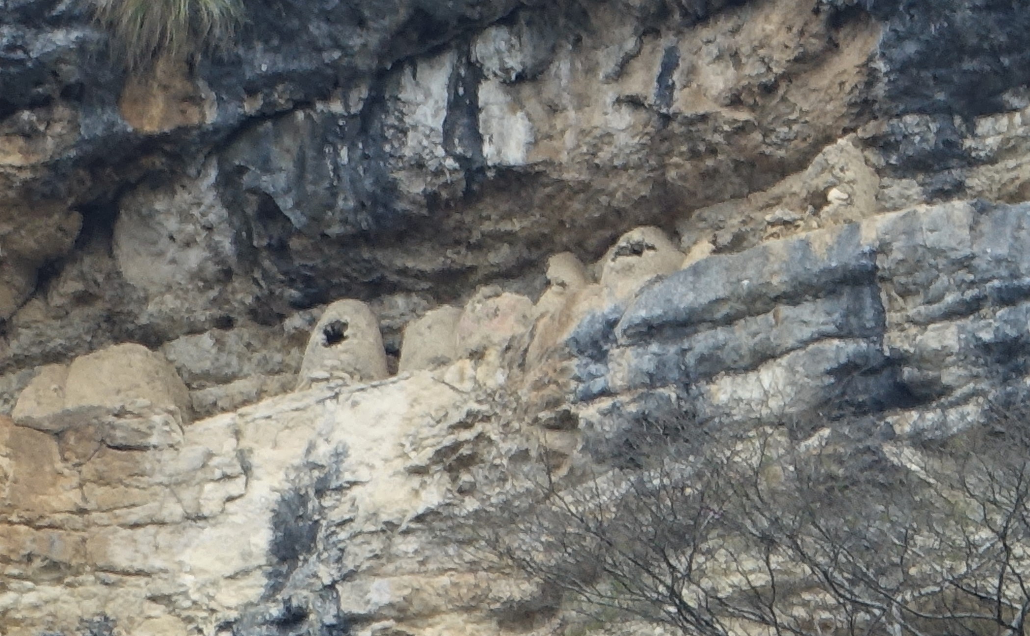
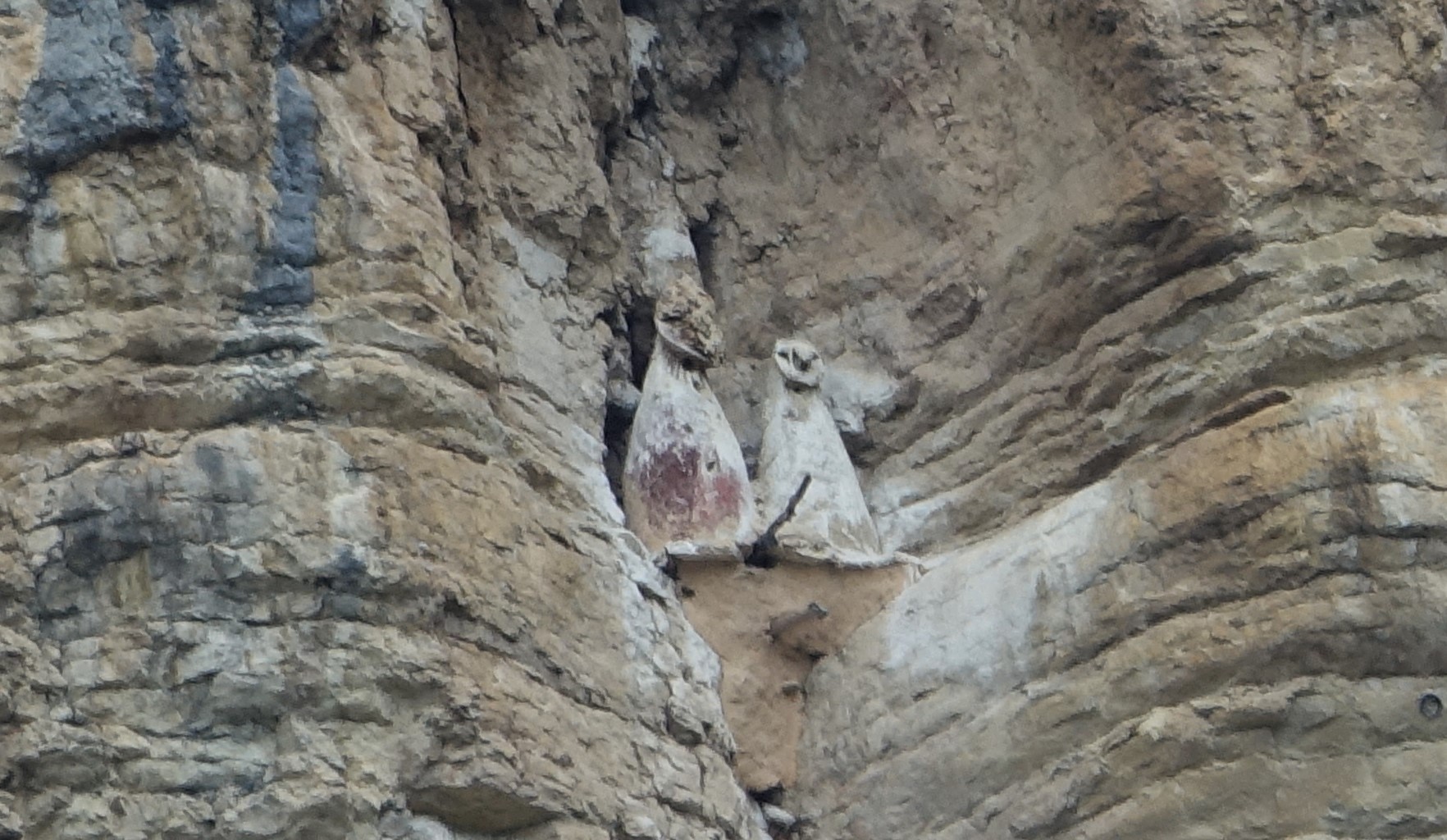
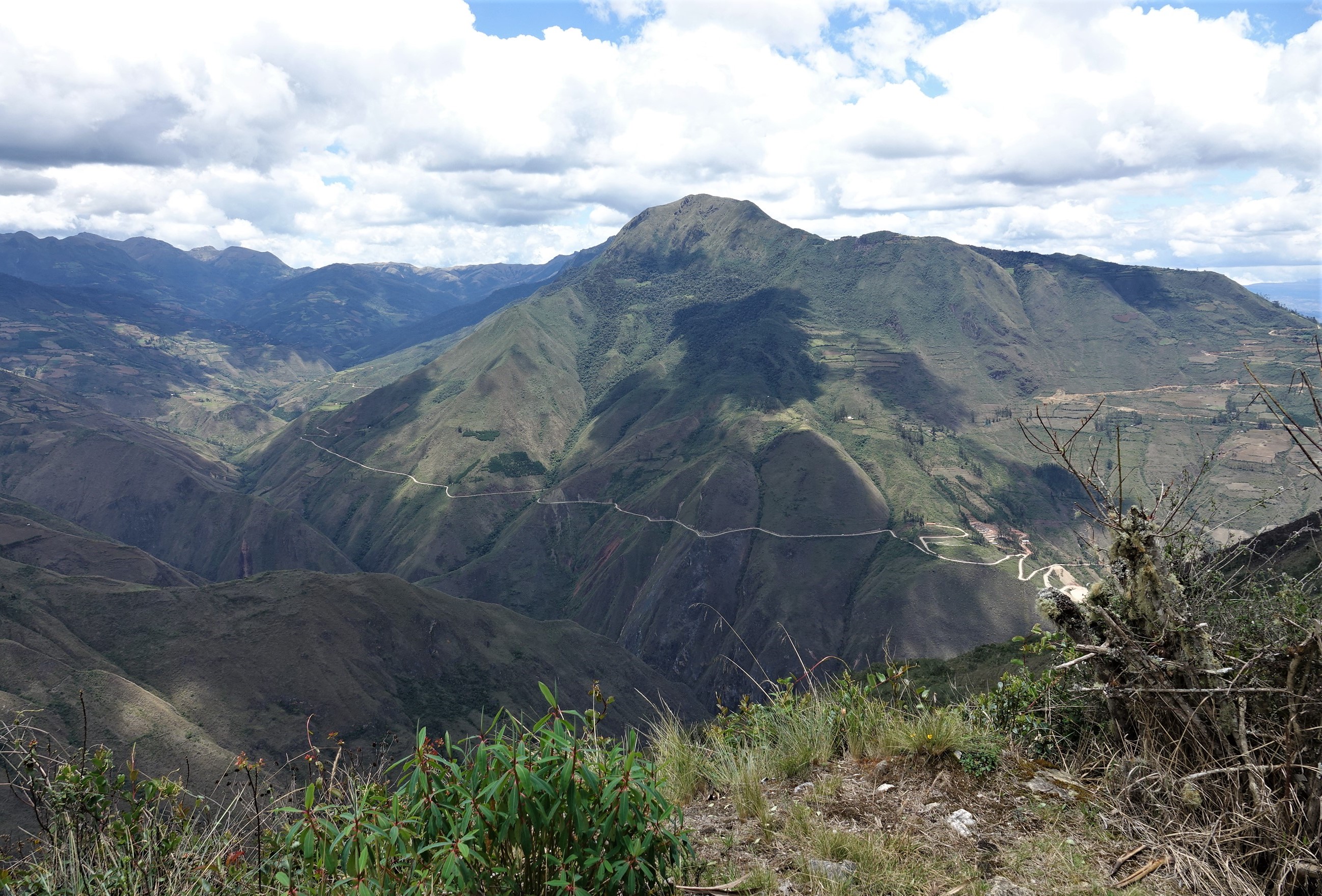
The route to Kuelap follows the Utcubamba River, sacred to the Chachas. The length of the river contains a large number of sarcophagi thousands of feet above the valley floor.   The sarcophagi contain the mummies of Chachas elite along with food and tools needed for their afterlife.  Some have painted caps, some plain, depending on the subculture.  What is amazing is that all are in open caves carved into sandstone with a rock overhang to prevent rain damage and within an altitude of 7500 – 8000 ft. in elevation, a narrow band where the local winds are ‘dry’.  The dry winds aid in the mummification process.  Sadly, most of the sites have been plundered by tomb raiders denying archaeologists context.  Our guide, Julio, stops many times along the route where we use his spotting scope to capture details of the sites.

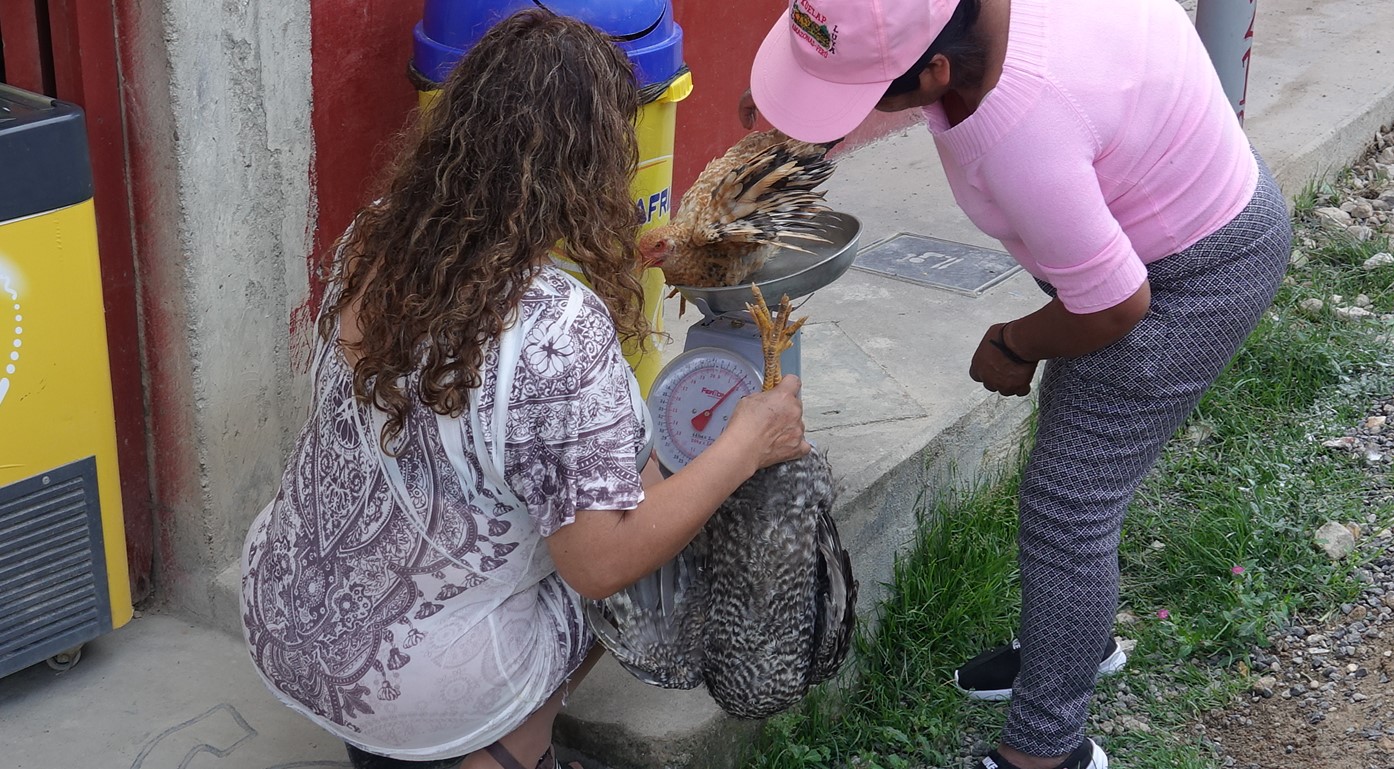
The small village of Tinto is the gateway to the Kuelap site.   As we pull off the road to have lunch a ‘chicken sale’ is underway.  It was an interesting and very serious activity.  Critters are weighed and a lot of discussion occurs before the conclusion of the sale. 

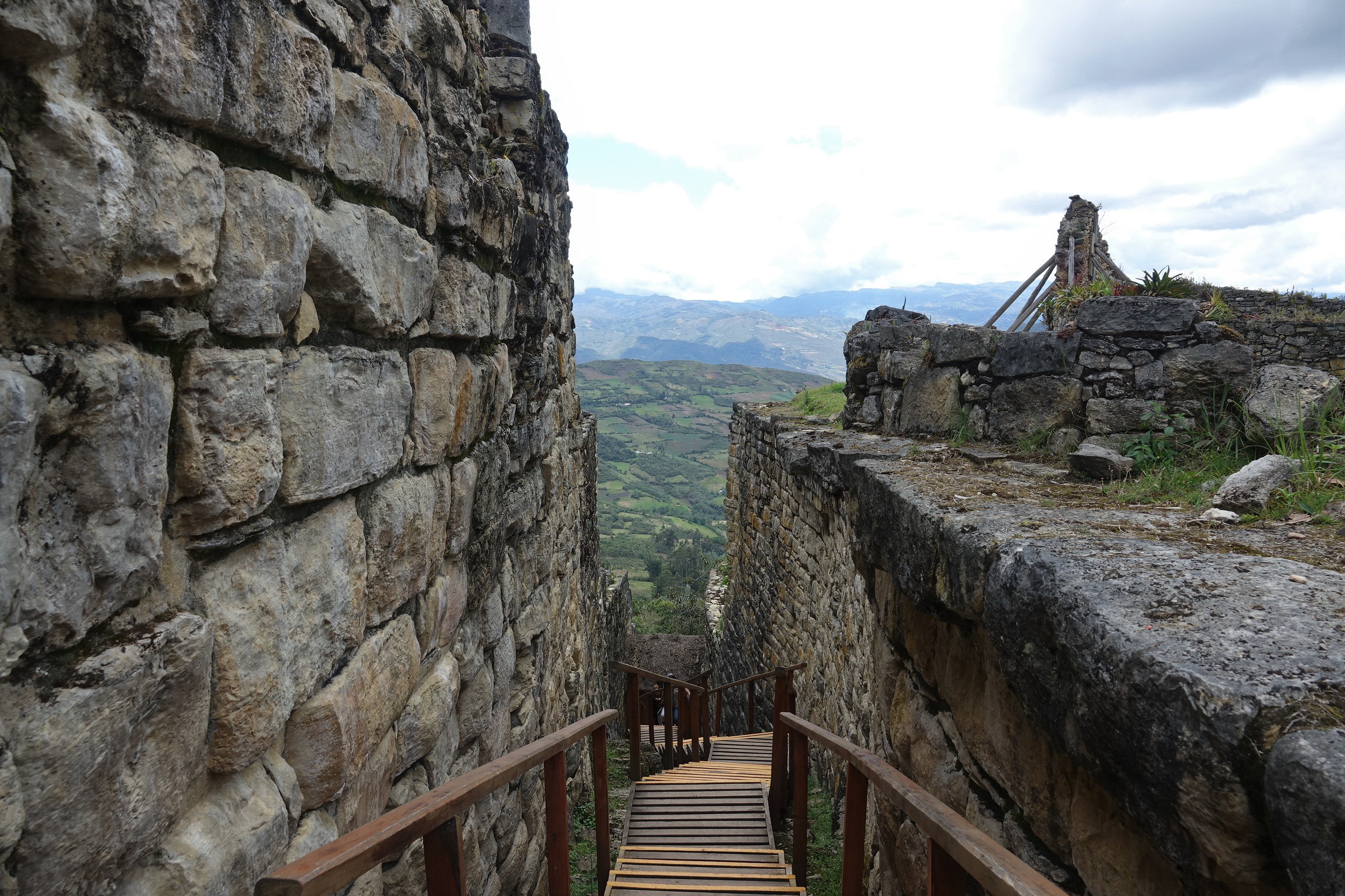
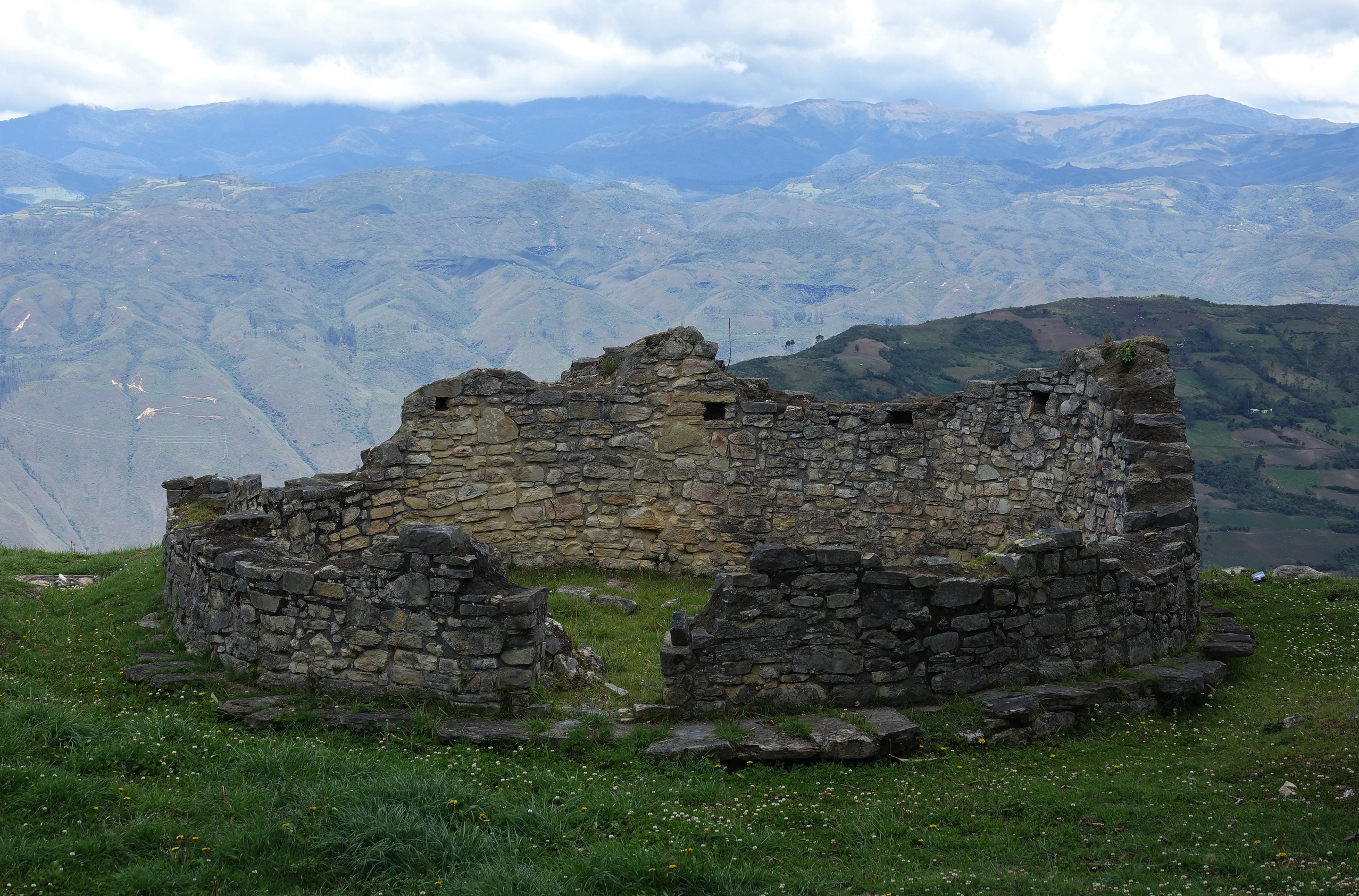
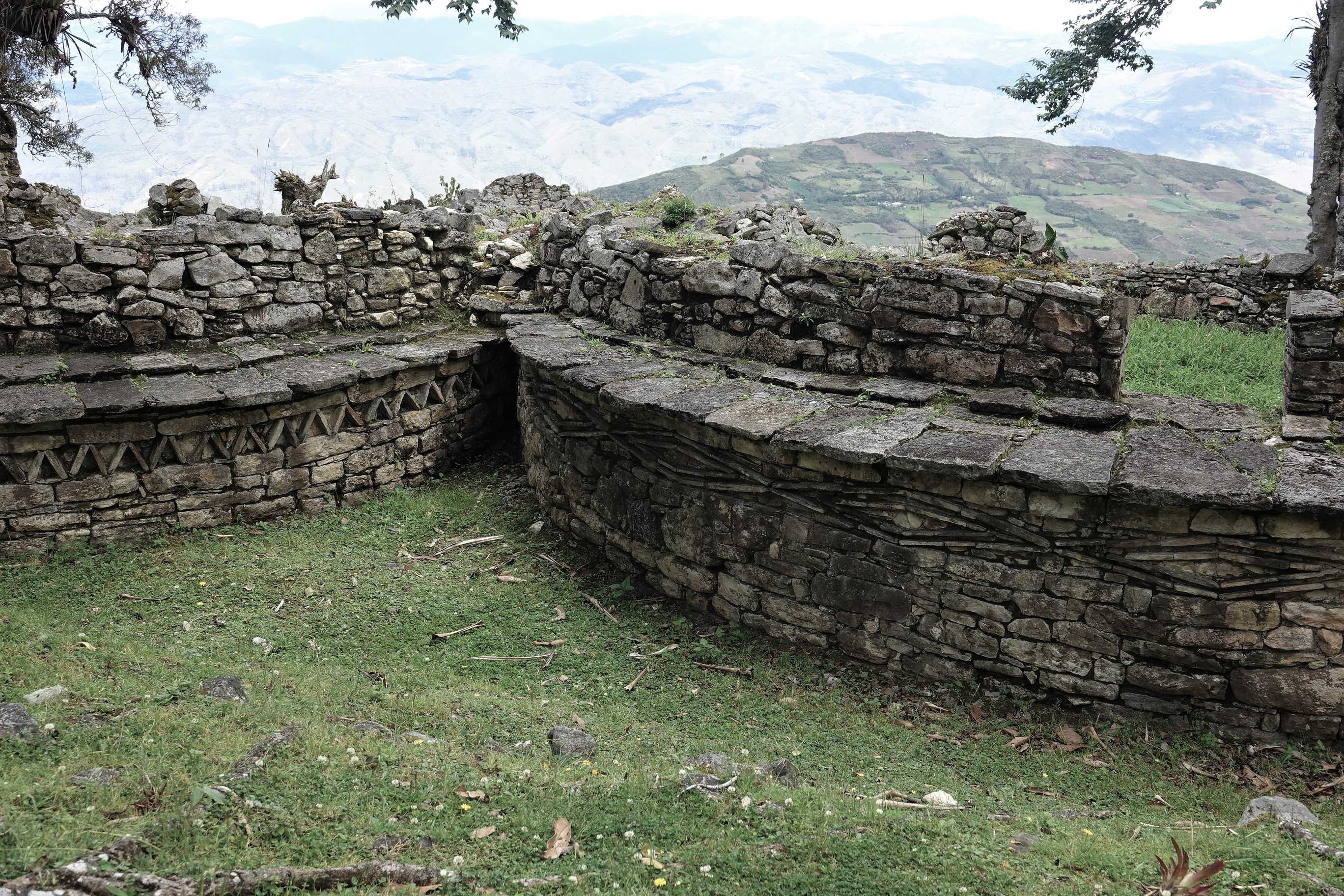
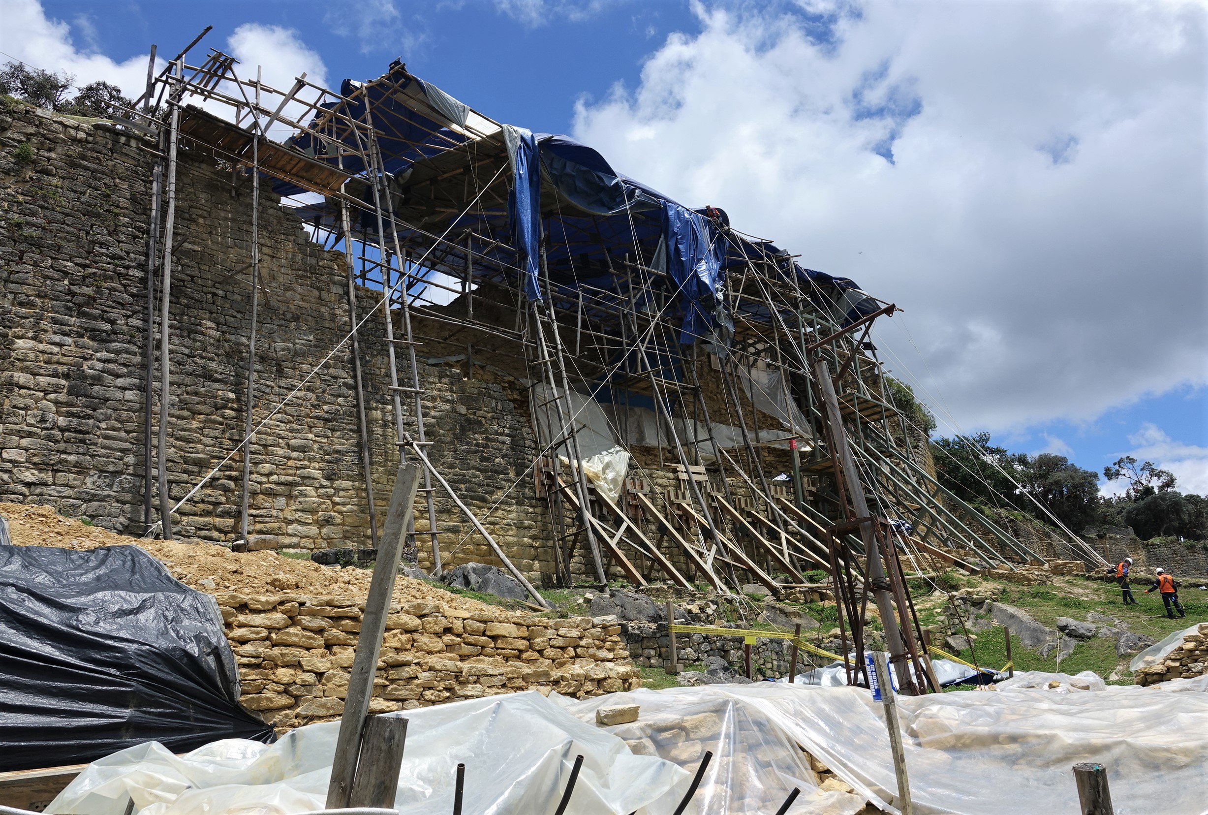
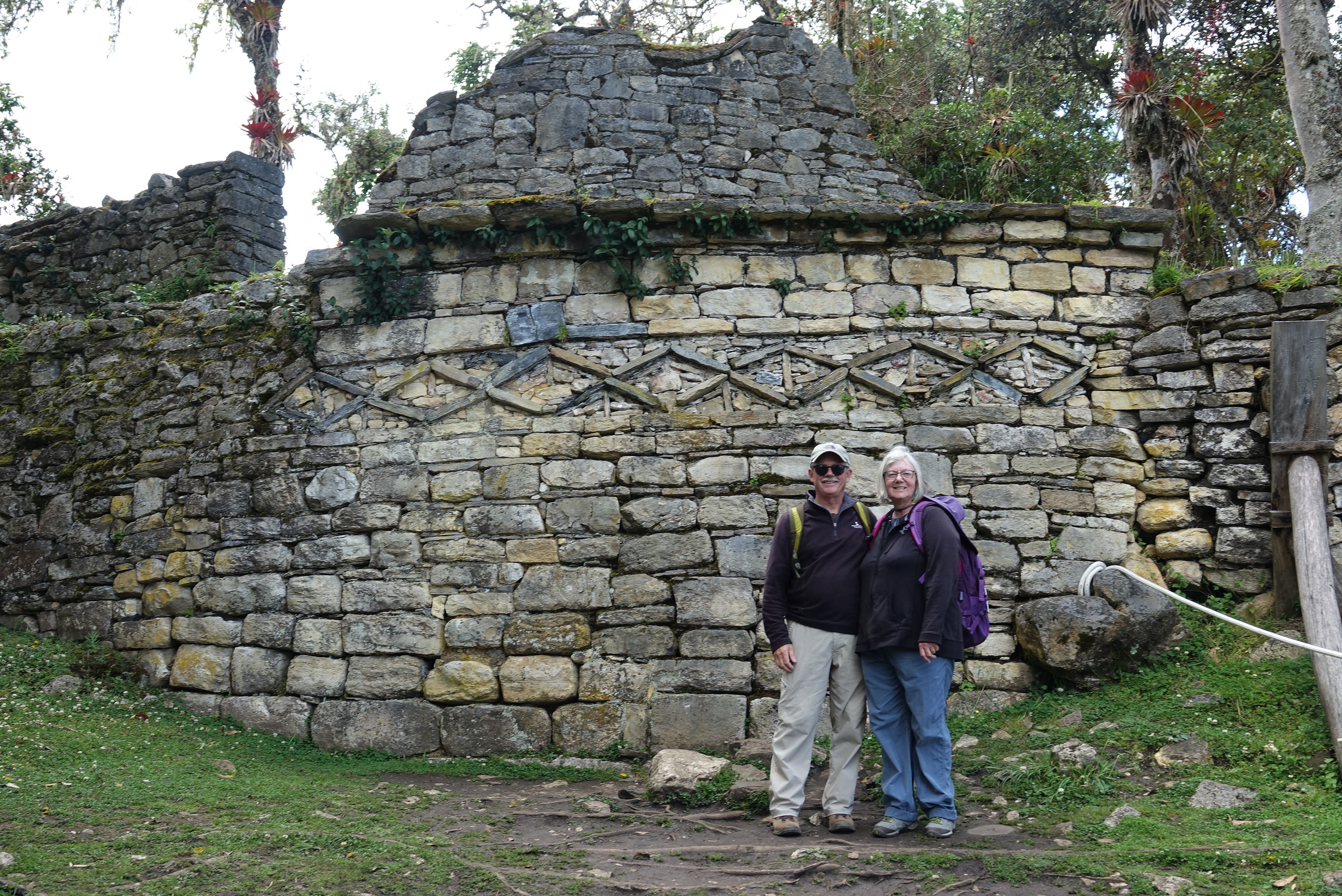
The ruins are now accessible via cable car – the first in Peru.  Actually, it is only the base of the ruins which is accessible.  It’s still a steep(!) one-hour hike to the site.  Very remarkable.   Constructed nearly a thousand years before the Inca and occupied for that time, Kuelap was the heart and imperial city of the Chachas where only the elite and artisans to support them lived.  The building foundations and walls which remain suggest a very dense city.   At nearly 10,000 feet the site appears to be impregnable.  All the entrances funnel arrivals from a wide path (4 people) to a single person at entry.  Originally, archaeologists considered the city to be a fortress, but current thought suggests a holy site and residence for the elite.   The altitude and weakness from our bout with ‘travelers disease’ made our wandering of the site pretty tough.  Julio’s patience was admirable. 

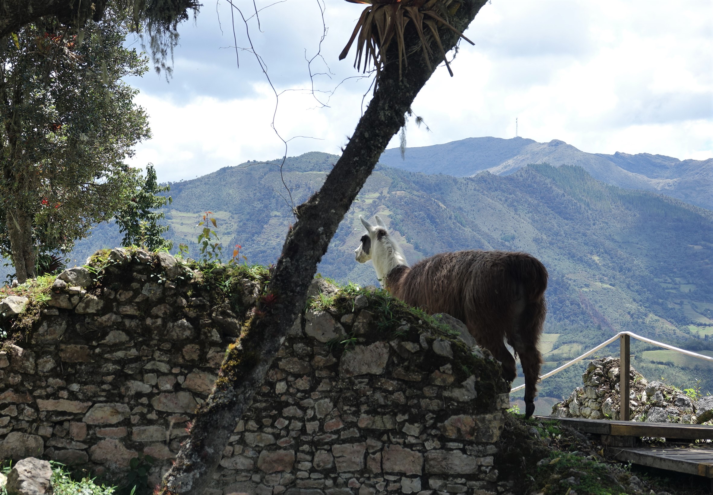
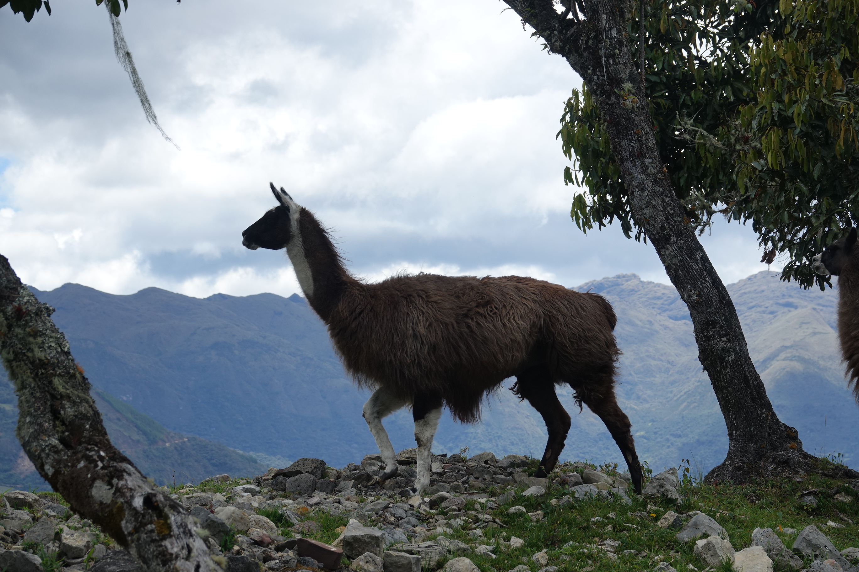
Wild llamas roam the grounds.  Llamas were the main pack animal (and sometimes food source) for the Chachas.  Once the Spaniards arrived with horses their utility ended and the carefully managed herds were released to the wilds.  Their descendants remain. 

D.

Chachas buriel sites
Chachas buriel sites Chachas sarcophagi along the Utcombama River
Chachas buriel sites
Chachas buriel sites Chachas sarcophagi along the Utcombama River
Chachas buriel sites
Chachas buriel sites Chachas sarcophagi along the Utcombama River
Thief!
Thief! Mary stealing wild cotton
Weigh-in
Weigh-in Post-sale weighing of the chickens. Very serious work.
Kuelap
Kuelap Dick & Julio (guide superb)
Kuelap
Kuelap Old road to the Kuelap ruins
Kuelap
Kuelap Entrance to the city - narrowed to a single person passage
Kuelap
Kuelap Foundations of dwelling
Kuelap
Kuelap Two different icons used for wall decorations - waves, cat eye
Kuelap
Kuelap Archaeological work on main entrance
Kuelap
Kuelap Wild llama at ruins
Kuelap
Kuelap Wild llama at ruins
Kuelap
Kuelap Tourists
Kuelap
Kuelap Well preserved wall decorations - cats eye icons.
Kuelap
Kuelap Outer wall
Kuelap
Kuelap Horse taxis waiting for work. We walked up and paid the price.
Leymembamba
Leymembamba Kentitambo 'Hummingbird Lodge', eco-lodge
Leymeybamba
Leymeybamba Sunset from our cabin
  • Archaeology

Post navigation

  The ‘Road to Gocta’
Mausoleums of Revash  

Leave a Reply Cancel reply

You must be logged in to post a comment.

Where We’ve Been

Categories

Tags

Archaeology (32) Beer (20) Critters (54) Foodie (47) Golf (4) Haggis (2) Lighthouse (3) Whisky (8) Wine (32)

Archives

  • September 2025 (12)
  • May 2024 (21)
  • April 2024 (11)
  • March 2023 (20)
  • February 2023 (9)
  • October 2022 (4)
  • September 2022 (32)
  • August 2022 (1)
  • November 2019 (13)
  • October 2019 (28)
  • September 2018 (31)
  • August 2018 (6)
  • December 2017 (20)
  • November 2017 (31)
  • October 2017 (7)

Dick’s Golf Blog

  1. Mary on 3/2 and 3/3 – At Sea to South GeorgiaMarch 24, 2023

    Thanks Carol, it truly is the only way we can keep track!

  2. Dick on 3/2 and 3/3 – At Sea to South GeorgiaMarch 24, 2023

    I'm clean! It was Mary!

  3. Carol McCafferty on 3/2 and 3/3 – At Sea to South GeorgiaMarch 24, 2023

    Absolutely fascinated reading your blog, you guys are so adventurous, my heroes. Thank you for all the time you spend…

  4. Kevin Elsken on 3/2 and 3/3 – At Sea to South GeorgiaMarch 23, 2023

    I read where Argentina is stirring the pot at the U.N. in regards to the Falklands. Dick, tell me, did…

  5. Wiley & Sue on San Antonio de ArecoMarch 2, 2023

    Fantastic pictures, thanks so much for sending

Admin

  • Log in
  • Entries feed
  • Comments feed
  • WordPress.org

Hey – it’s us!

As the two of us have travelled over the years we’ve tried to keep a blog going (mainly so we can remember what the heck we did!).  It’s been good fun and a great way to hold on to special memories.


Fun Facts - Current Trip

Now Pak Beng
Next Luang Prabang
Day Count 11
MIles Traveled 10127
"Wherever you go, there you are", - Buckaroo Banzai